Guide
Context-aware indoor and cross-floor navigation for visitors, staff and service teams.
Indoor Positioning · Spatial Intelligence
ZIIIC turns indoor movement into a governed spatial intelligence layer—guiding people, coordinating assets, and giving operators a live understanding of complex venues.
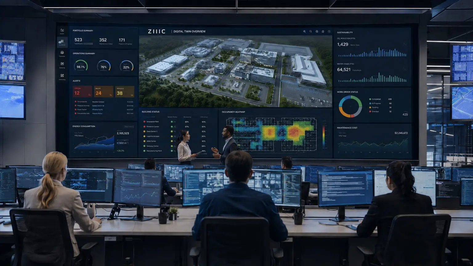
Illustrative spatial operations environment
A new operating layer for physical space
Inside airports, hospitals, campuses, stations and commercial destinations, every route, dwell, queue and transition contains operational value. ZIIIC makes that movement understandable and actionable.
Context-aware indoor and cross-floor navigation for visitors, staff and service teams.
Transform movement, dwell, flow and congestion into measurable venue intelligence.
Connect spatial events to safety, service, maintenance and enterprise workflows.
Link destinations, media and services to verified movement and arrival outcomes.
One platform · Multiple operating realities
Each environment has different people, risks, maps and rules. ZIIIC applies one spatial core while adapting the experience, governance and operating model to the venue.
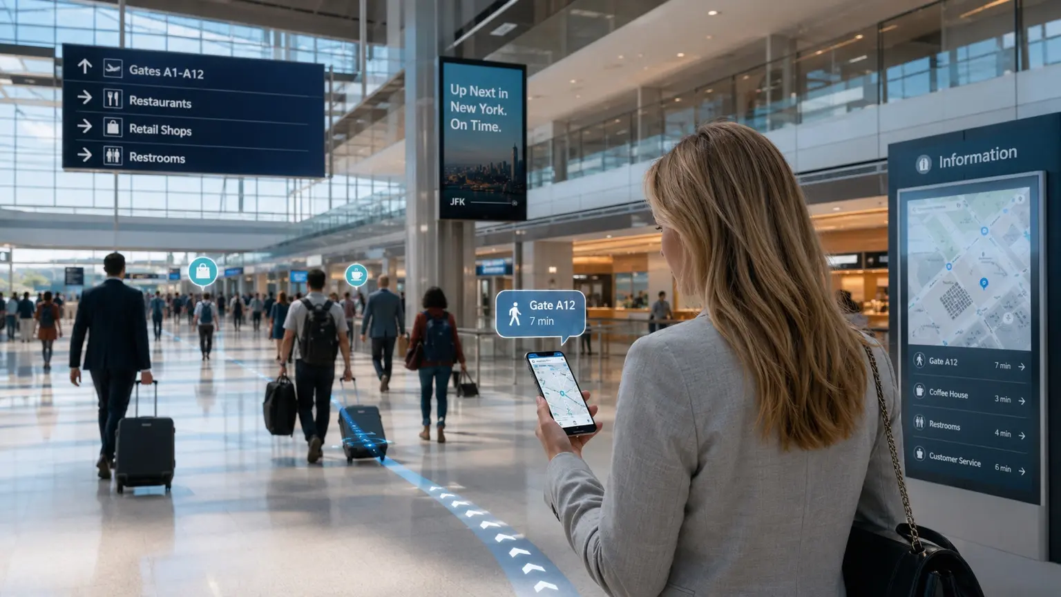
Guide travelers across floors, accessible paths, security checkpoints, services and gates while operations sees flow, dwell and exceptions in real time.
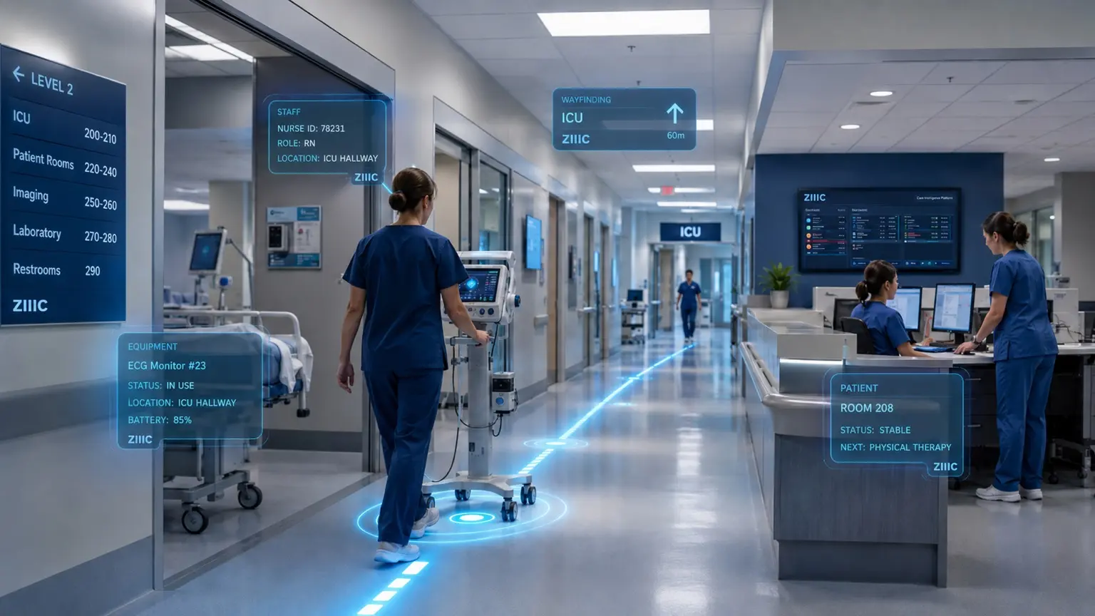
Help patients and visitors reach the right destination while clinical teams coordinate equipment, staff movement and time-critical tasks.
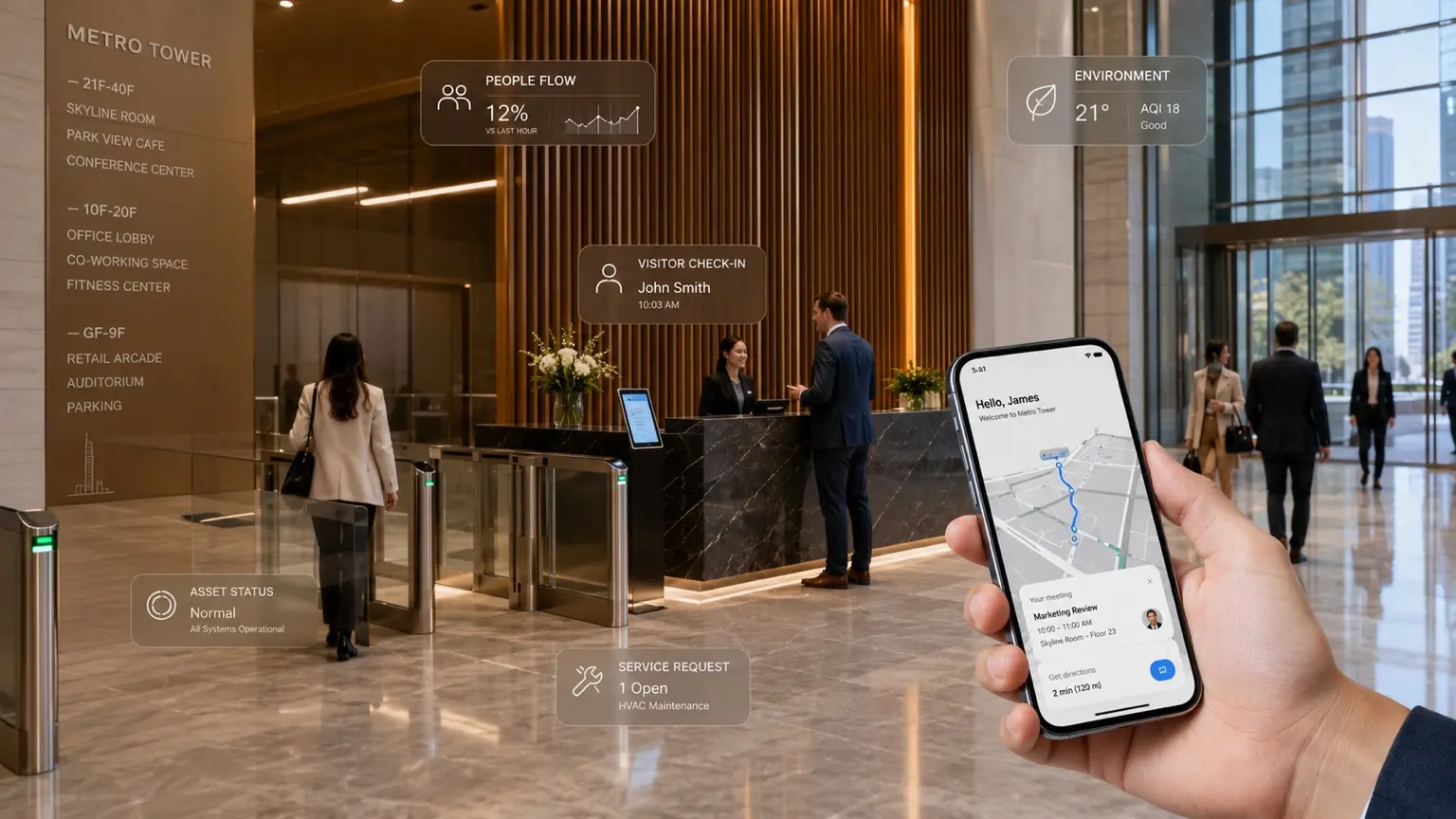
Connect visitor check-in, meetings, environmental context, service requests and vertical navigation into one seamless spatial experience.
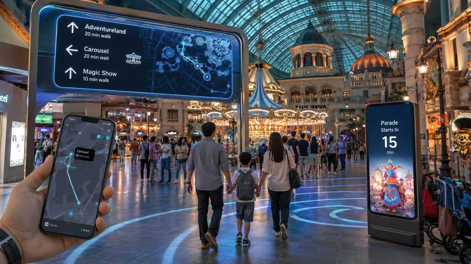
Guide visitors to attractions, stores, dining and events while operators understand movement, demand and destination performance.
Unify people, asset, building and movement events in one spatial operations layer across campuses, industrial estates and critical infrastructure.
Beyond the blue dot
ZIIIC links a reliable indoor position to approved routes, venue meaning and enterprise action. The result is not simply navigation—it is a measurable operating system for space.
Guide people across floors, entrances, lifts, accessible paths and changing conditions.
Trigger workflows when an asset enters a zone, a queue forms, or a route deviates.
Connect media, destinations and service interactions to verified indoor journeys.
Continue the journey through parking, pickup, charging, service points and the final destination.
Software-defined indoor positioning
Indoor signals fluctuate with materials, crowds, devices and network conditions. ZIIIC combines multiple observations with temporal inference, map constraints and venue policy to produce a location, floor and confidence—not an unqualified dot.
Normalize cellular, wireless, motion, device and venue observations with time and quality metadata.
Combine learned signal models and motion continuity to reduce noise and calculate confidence.
Keep the result on valid paths, entrances, lifts, escalators, service areas and accessible routes.
Turn coordinates into meaningful destinations, restricted areas, operating rules and spatial context.
Convert movement into measurable events for navigation, safety, service and operations.
Deliver governed spatial intelligence to existing apps, maps, dashboards and enterprise systems.
Live spatial operations
A venue model connects approved maps and operational rules to the positioning engine. Applications consume governed routes, confidence and events from the visitor’s phone to the command center.
Reference architecture · Exact integrations are defined per deployment
Measured, not assumed
Final performance is established through representative devices, routes, floors, time periods and signal conditions. ZIIIC defines the service level from ground-truth evidence before production acceptance.
Position error distribution
Correct level identification
Valid path consistency
Time to confident position
Service availability
*2–3 m is a typical target for suitable deployments, not a universal guarantee. Final service levels are determined after venue POC and acceptance testing.
Published deployments
Verified cases can be published, ordered and filtered from ZIIIC Case Manager without changing the website code.
No published cases are available yet.
Built for international deployment
ZIIIC brings indoor positioning, spatial analytics and enterprise integration together as one international platform for airports, governments, infrastructure operators and complex venues.
Bring intelligence indoors
Tell us about your venue, operating challenge, proof-of-concept or national deployment opportunity.
Start a conversation